HUDSON VALLEY – Snowfall overnight ranged from two to four inches, depending upon where you are in the region.
The National Weather Service says we can see well over a foot, and possibly closer to two feet, of the white stuff when the storm moves out by tomorrow afternoon.
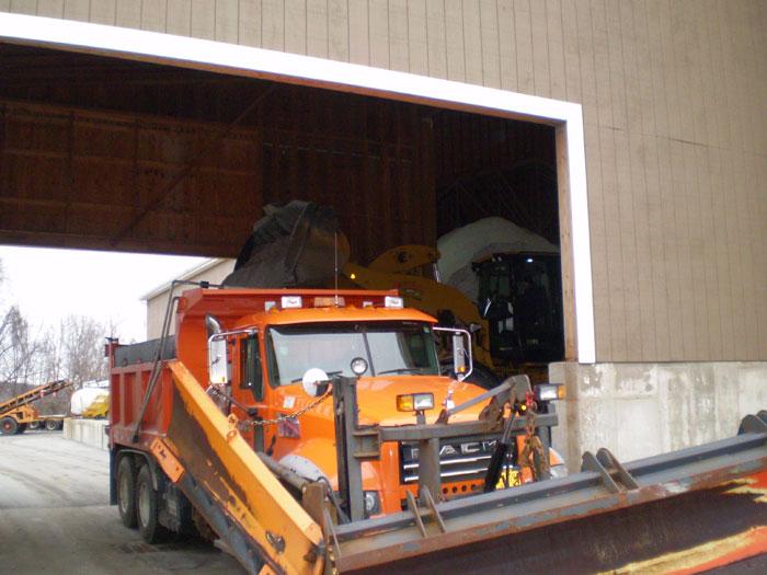
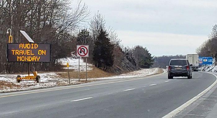
Driving will be dangerous so people are advised not to go out, and be careful while shoveling or snowblowing.
As of now, the forecast goes like this:
Monday
Snow. The snow could be heavy at times. High near 25. Wind chill values between zero and 10. Blustery, with a northeast wind 16 to 21 mph. Chance of precipitation is 100%. New snow accumulation of 11 to 17 inches possible.
Monday Night
Snow before 10pm, then snow and freezing drizzle. The snow could be heavy at times. Low around 25. Wind chill values between 10 and 15. Blustery, with a north wind 18 to 23 mph, with gusts as high as 36 mph. Chance of precipitation is 100%. Little or no ice accumulation expected. New snow accumulation of 2 to 4 inches possible.
Tuesday
Light snow likely. Cloudy, with a high near 31. Wind chill values between 10 and 20. North wind 13 to 16 mph. Chance of precipitation is 70%. New snow accumulation of less than one inch possible.
Tuesday Night
A 30 percent chance of light snow before 1am. Cloudy, with a low around 23. Northwest wind 10 to 13 mph.